Staff Spotlight - GIS Team
Every day at sunset, Ranger Valerie Caruso at John D. MacArthur Beach State Park scours the length of the beach looking for sea turtle nests. She notes each nest depression and turtle track to report to the Florida Fish and Wildlife Conservation Commission and Palm Beach County. For years, this task took hours of painstaking data entry. Now, thanks to a new app, transmitting the day’s survey takes only minutes.
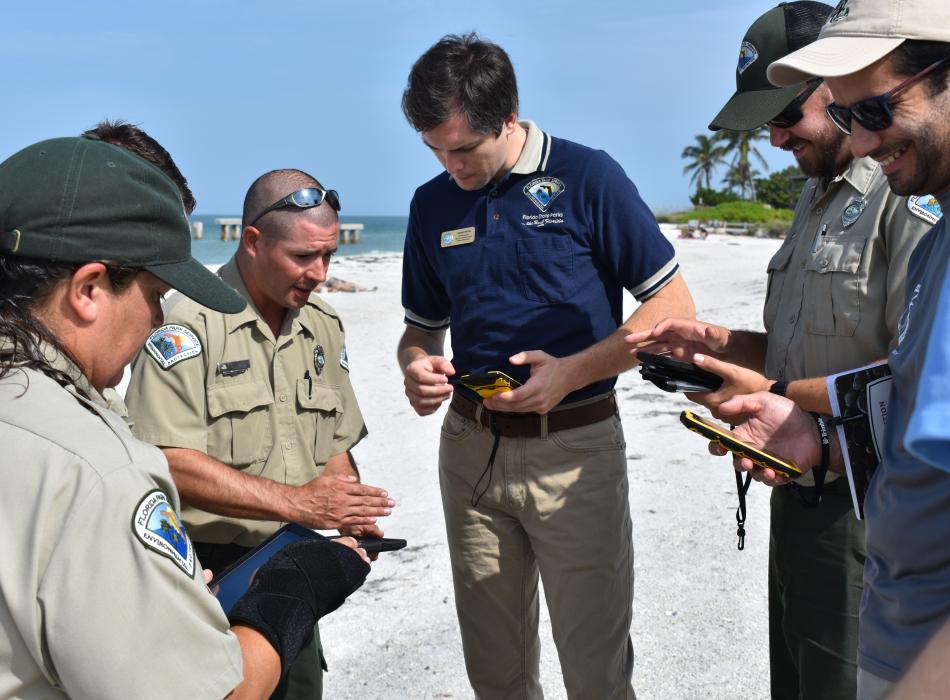
Florida Park Service's geographic information system (GIS) technicians Andrew Williams and Adam Neuse worked with park rangers and biologists to develop an app that streamlines the monitoring and protection of sea turtle nesting sites on both the Gulf and Atlantic coasts. The mobile app allows nest surveyors to mark the precise location, species and status of each nest and easily upload each entry into a database.
“It takes one minute where it used to take one hour,” said Neuse, who estimated data entry used to take MacArthur Beach staff about 200 hours per season.
The app doesn’t just make the survey process more convenient, it allows park staff and resource managers to visualize the patterns and concentrations of nests and to chart changes or threats to nesting sea turtles over time.
At John D. MacArthur Beach State Park, nesting sites are analyzed in different sectors. If a sector near a condominium begins to show a decline in successful nesting, it could indicate that street lights are disorienting sea turtles at night or that a predator is in the area. With the data, park staff can better protect the nests and sea turtles.
Staff and volunteers at John D. MacArthur Beach State Park have integrated the turtle survey app into their overall conservation plan, and 17 other parks are in varying stages of implementation. Ultimately, the Florida Park Service wants to utilize this tool throughout the state park system and in collaboration with other state environmental agencies. The Florida Fish and Wildlife Commission has started to use the app as well. “This is very much a collaborative enterprise,” Neuse said.
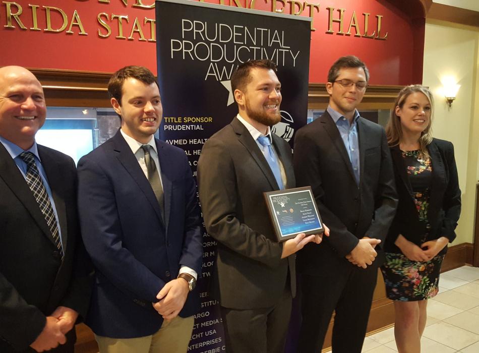
The Florida Park Service’s GIS section continues to find solutions to resource management problems, whether that be collecting data on the locations of endangered Torreya trees to information about the depth of canals in Key Largo’s coastal wetlands. The GIS section, which included Neuse, Williams, Brady Harrison, Ryan Mulvey and Laura Bollmann, received the 2018 Prudential Productivity Award for developing a tool for monitoring hurricane impacts on state parks in real-time.
Technological advances — along with the dedication and hard work of staff, volunteers and community supporters — allow the Florida Park Service to accomplish its mission to protect, interpret and preserve Florida’s unique environmental heritage.