Black Rail trail has been reestablished after six years of closure, due to a wildfire. During the efforts to contain the wildfire the original trail was used as a fire break and the trail was widened with a plow line. Once the fire was contained the plow line remained and held water. As a result the trail was no longer passable and access to the most unique view in our park was unavailable. Through the efforts of park staff and park volunteers we are proud to say, once again you can hike all the way out to the salt marsh!
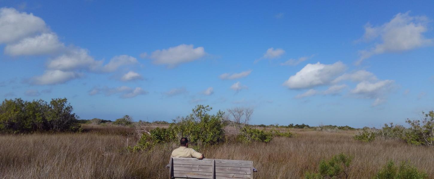
Black Rail trail was named for the elusive Black Rail bird that visitors come from all around the world to hopefully view. The end of Black Rail trail offers your best opportunity to do so and a bench is provided overlooking the habitat where these birds live and offers plenty to see.
The trail begins in a Pine Forrest where you have the chance to see and hear smaller birds, Raccoons, Opossums, Grey Fox, Coyote, Gopher Tortoise, Box Turtles, Otters and sometimes Alligators. As you exit the Pine Forrest, you enter an Uplands Hammock. Many of the same species can be found in the Hammock, however in here you will be using your ears more than your eyes as this growth is very dense. The next habitat you will pass through will be dominated by Black Needle Rush and Leather Fern. This will be your first view of the Needle Rush. At this point you will want to ensure you stay near the center of the trail, the Needle Rush is named for the needle sharp point at its end. As you look across this portion of the habitat you can gain an understanding of how difficult it can be to find high and dry ground. Everywhere you spot Leather Fern the ground is too wet and too soft to hike. Once you clear this section you are back on solid ground and on your way to the bench. The bench represents the end of the trail and the only open view of the salt marsh and salt flats in the park that can be reached on foot.
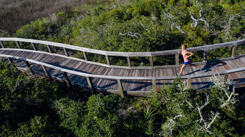
This trail will be benefiting from constant upgrades, much like the rest of the park. An informational kiosk near the end of the trail will be updated and we will continue to make the hiking surface as smooth as possible. Currently this is considered a moderately difficult trail, temperatures are on the rise so bringing water is recommended. Closed toe shoes that can get a little dirty are recommended as well.
The trail is located at the west end of State Road 52. The trail entrance is down the fire line to the left and will be your second left once you cross the mosquito ditch. If you have any questions or concerns please reach out to Adam Belden, Park Manager at Adam.Belden@FloridaDEP.gov.