Burn Boss Q&A with Daryl Hatfield
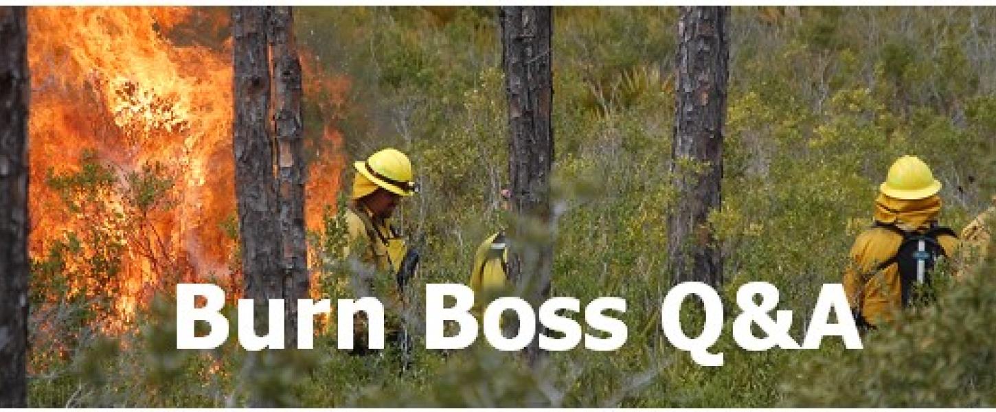
Interview with a Burn Boss: Daryl Hatfield
Is there a burn you participated in that stands out for its difficulty and success?
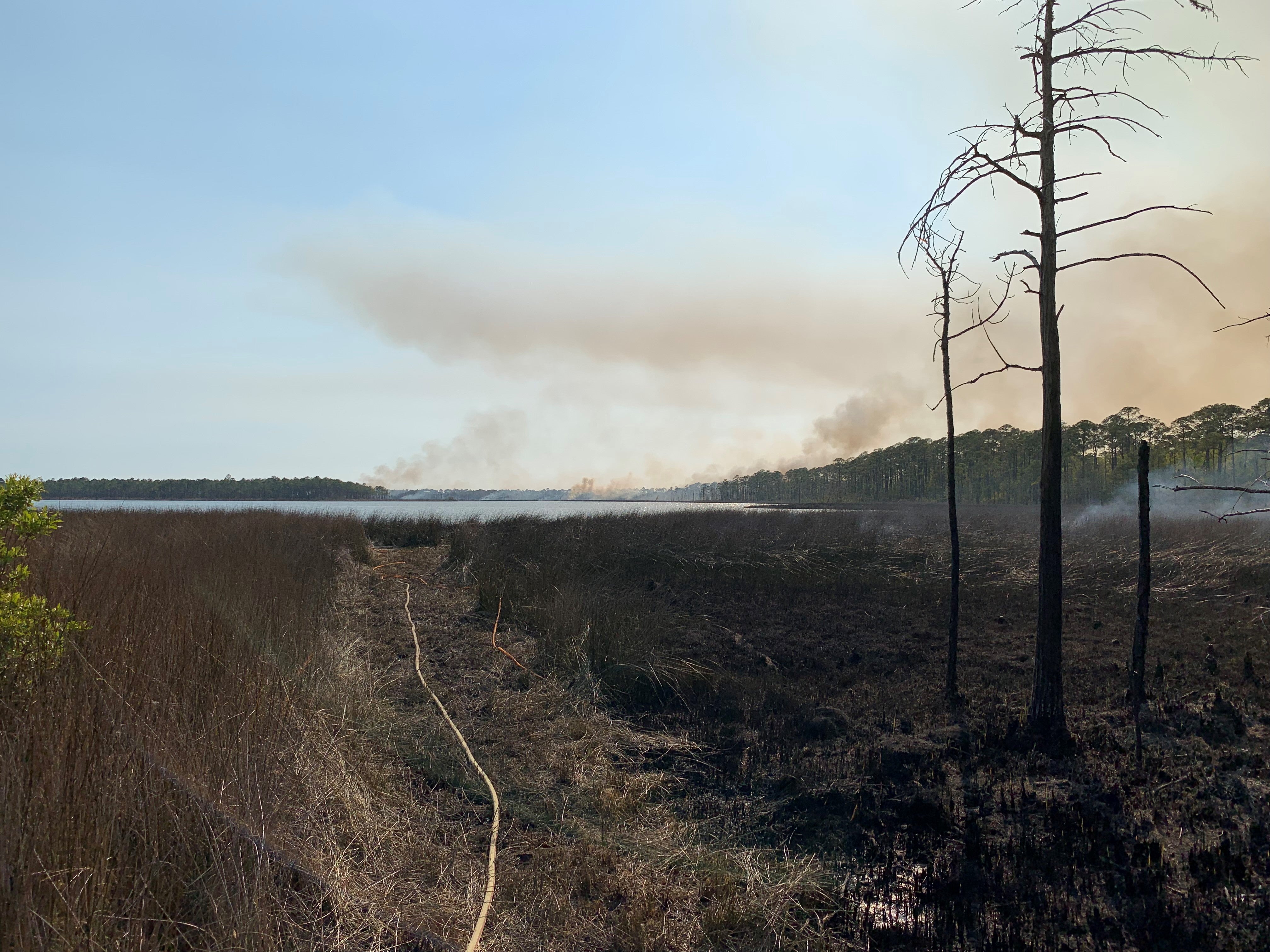
A little background on Tarkiln Bayou Preserve
Tarkiln Bayou Preserve was established in 1998 with funds from the Preservation 2000 Conservation & Recreation Lands (CARL) program. Over the years, several acquisitions have expanded the preserve to 4,470 acres. The unit is named for Tarkiln Bayou, which empties into Perdido Bay in Escambia County on the Florida/Alabama line. The history of the entire area is heavily associated with the turpentine industry. The namesake bayou was even named for a “tar kiln” located on the peninsula portion of the preserve. Historically, the Tarkiln peninsula has been home to an assortment of longleaf pine communities in addition to expansive wet prairies inhabited by a wide array of carnivorous plants.
Decades of fire exclusion prior to acquisition had left the property with heavy fuel loading, including an overgrowth of titi (Cliftonia monophylla). These highly volatile stands of titi create an unnatural mid-story of woody shrubs that burn with intense heat and hot embers for great distances. These are serious concerns on any prescribed burn, particularly in this wildland-urban interface setting, where urban areas are not far away from the burn site. Before a prescribed burn at Tarkiln Bayou, Florida Park Service staff must mechanically reduce these mid-story fuels or surround them with wide firebreaks to effectively isolate them deep within the burn area. This level of preparation is challenging, requiring specialized equipment, skilled operators and careful timing to avoid damaging sensitive habitat with vehicles. This work is difficult, costly and time-consuming. However, it is the reality of reintroducing fire into a severely overgrown landscape surrounded by a rapidly urbanizing area.
Weather, weather and more weather
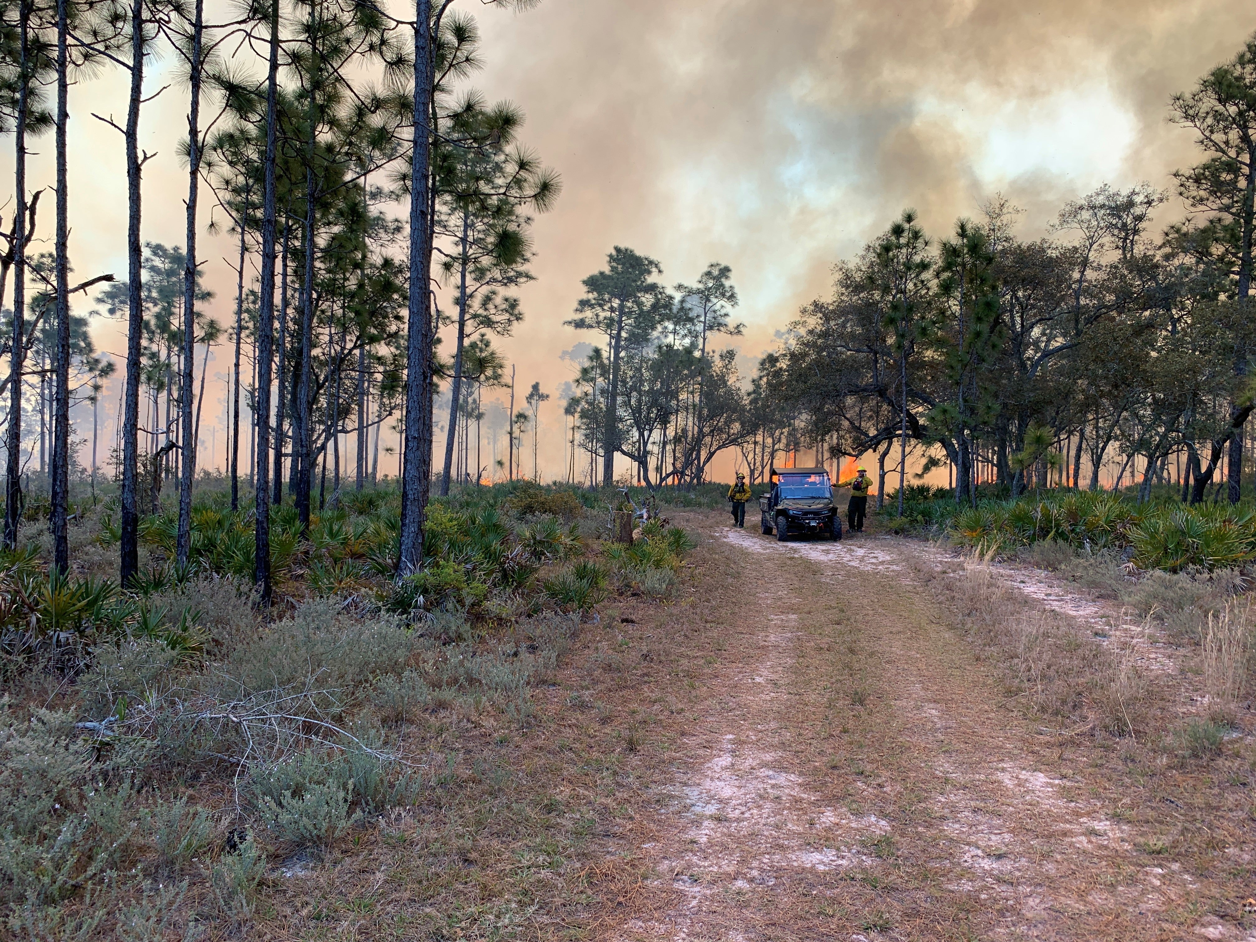
Another huge factor in conducting prescribed burns is the weather. This is especially evident at Tarkiln Bayou where the surrounding critical smoke-sensitive areas add significant complexity. For the peninsula burn, this left us with only one wind direction that would not impact our neighbors. With a school to the south, a major county roadway to the east, a Navy field and recreation area to the north, and a major bridge and commuter route to the northwest of the block, a northeast wind was the only acceptable option. We also had to time the burn so that the only roadway in, affectionately nicknamed “big muddy,” was dry enough to access the block but still wet enough to serve as an effective contingency firebreak.
Quick thinking under pressure
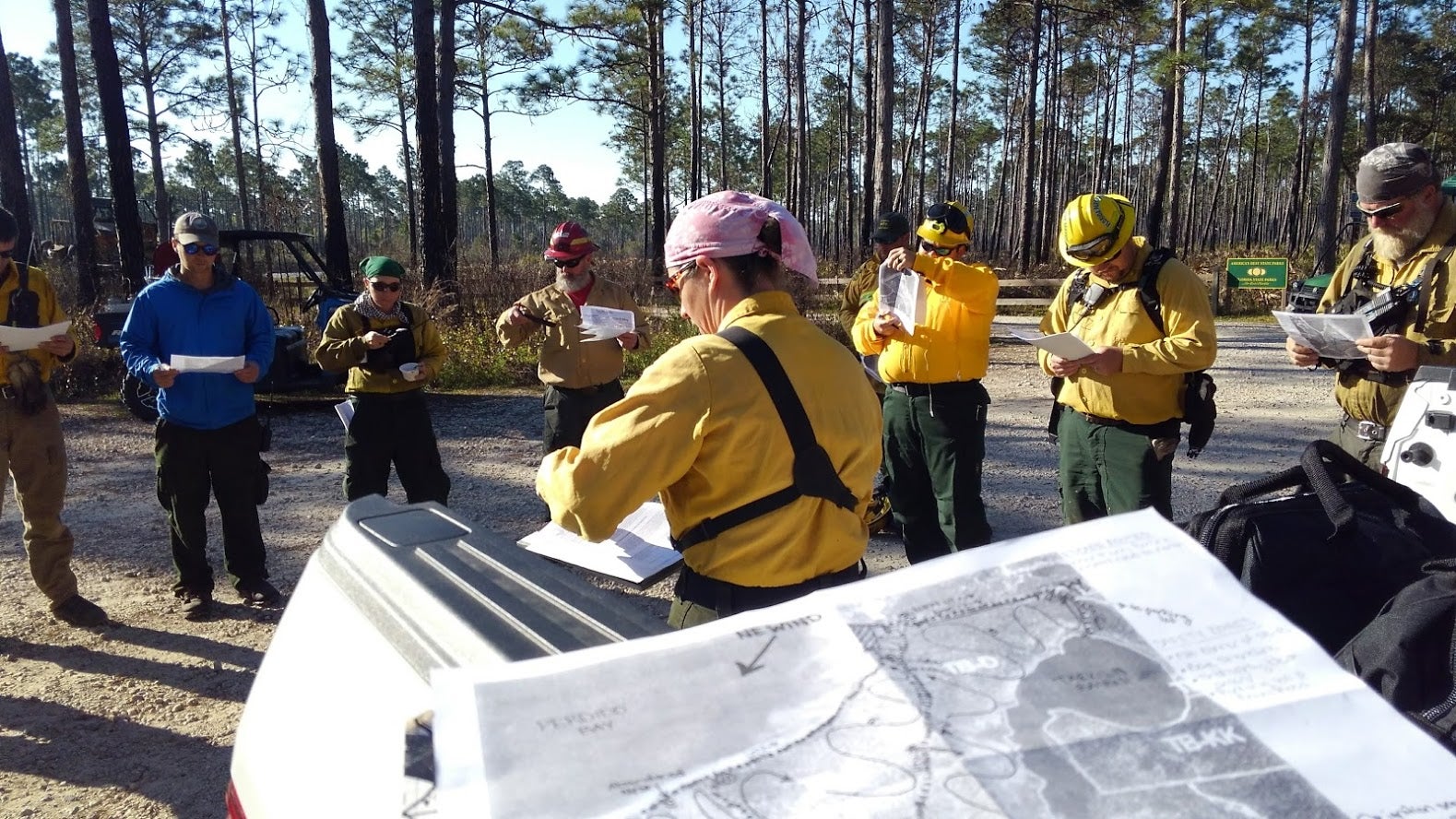
On the day of burn, we gathered for the usual briefing, including crew assignments, weather forecasts, and contingency plans in the event of something unexpected occurring. The forecast was good with steady northeast winds forecast for the entire day. It was still an early March morning, and the grass was a little wet from a morning dew and the passage of a late-season cold front the day before. This allowed burn crew who were not familiar with the unit more time to go on an orientation tour while we waited for the test fire — the first fire of the morning that helps us understand the day’s burn conditions.
When the go-ahead was given, everyone proceeded with their assignments. Everything was following the plan perfectly until about halfway through the day, when one of the worst-case scenarios occurred. We experienced a 180-degree, marine-influenced wind shift with our winds now blowing from the southwest. Essentially, a sea breeze had kicked in. Kiersten immediately halted ignition and all burn crew members pulled out to assess the situation and brief on how to handle this change in conditions.
Thanks to contingency planning and the combined experience of all the partners present, a new plan of action was quickly put in place, and the burn continued without incident.
About the Author
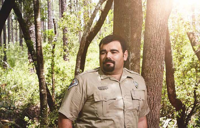
Daryl Hatfield has been with the Florida Park Service since 2007. He began his career as a park ranger at Blackwater River State Park and Yellow River Marsh Preserve State Park in Milton. Upon his promotion to park services specialist in 2016, he worked hard to promote the volunteer program at the park, led the invasive plants treatment program and worked with the park manager to coordinate the prescribed burn program at both Blackwater River and Yellow River Marsh. Daryl also attended college full time while working full time as a park ranger. He graduated from the University of West Florida with a bachelor’s degree in environmental science in 2011.
In 2018, Daryl made the difficult decision to leave his longtime position at Blackwater River and take on a new challenge as an environmental specialist II and district prescribed burn program coordinator at the District 1 office in Panama City. In June 2018, Daryl relocated his family, wife and two daughters to Panama City. His hobbies include gardening, camping at state parks and hunting.