Geology of Falling Waters State Park

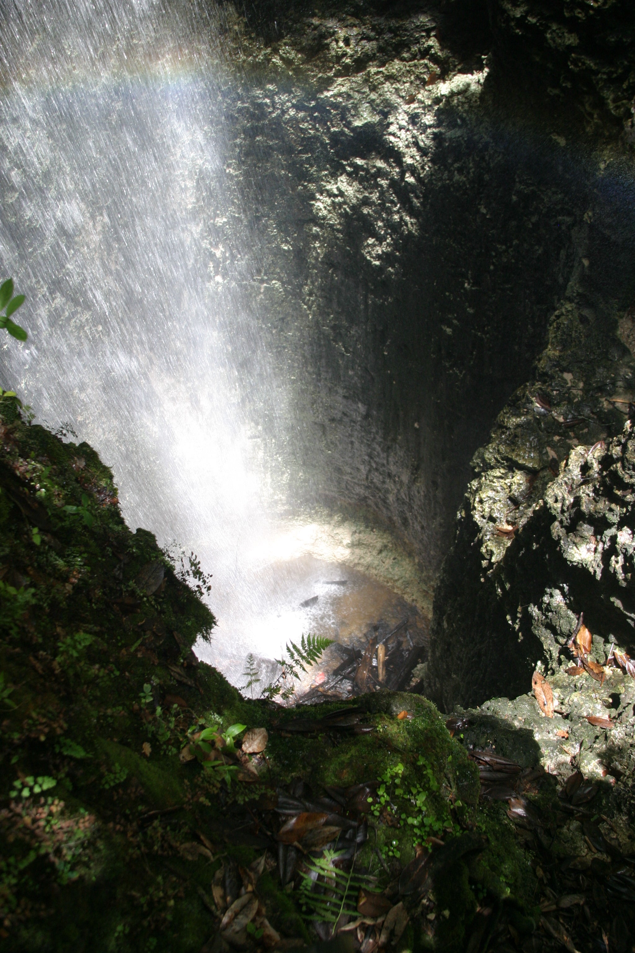
Falling Waters State Park is the only place in Florida where visitors can see a 70-foot-tall waterfall. When there is sufficient rainfall in the area, surface water flows down a small stream channel and over the rim of a large, circular depression and cascades some 70 feet before disappearing into a cave. This circular depression is the result of geologic processes that have shaped the landscape in this area and in many other parts of Florida. This geologic process, called dissolution, creates a landscape geologists refer to as karst topography, which includes features like sinkholes, springs, natural bridges and the waterfall in Falling Waters State Park.

As you walk the trail through the park, you will notice multiple depressions in the land surface. These are sinkholes and the reason they are present in this area is because the bedrock near the surface is limestone. Limestone, over many thousands to millions of years, is dissolved away by groundwater leaving behind void spaces in the rock. When the void spaces become large enough that they can no longer support the soil and rock above, it collapses forming a sinkhole.
Sinkholes are sometimes entry points into vast mazes of underground tunnels also created by the process of dissolution. These subsurface caves intersect Falling Waters Sink. In other words, the falls flow through a sinkhole that collapsed into an underlying cave system. The park’s trail system crosses over the underlying cave system in several places. We know this information thanks to highly trained cave explorers, or spelunkers, who used specialized equipment to explore and map more than 400 feet of passage beneath the park.
As you stand looking down into Falling Water Sink, you will notice the cylindrical hole into which the water falls has rocky walls. Exposed in the walls of this sinkhole are limestone formations that formed between 20 and 30 million years ago when this region of Florida was underwater. These formations are the lower Miocene Chattahoochee Formation and the lower Oligocene Suwannee Limestone.
The Miocene Alum Bluff Group, which is composed of quartz sand and clay, sits on top of the limestone and forms a protective layer that helped the area resist extensive dissolution. This is why Falling Waters State Park sits on top of one of the highest hills in this area at over 320 feet in elevation. The surrounding landscape has been lowered as the limestone dissolved away over geologic time.


